click on the title to see more info
Coastal Resources
Coastal Wetland Delineation
Wetland boundary determinations are often a critical component of waterfront planning. Delineating wetland boundaries requires a thorough understanding of the existing physical features including topography, vegetation, sediments, and hydrologic characteristics. In Massachusetts, dunes, banks, and floodplains are coastal wetlands. Such delineations also require a mastering of federal, state, and local delineation methodology and criteria.
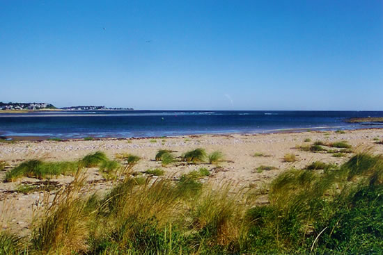
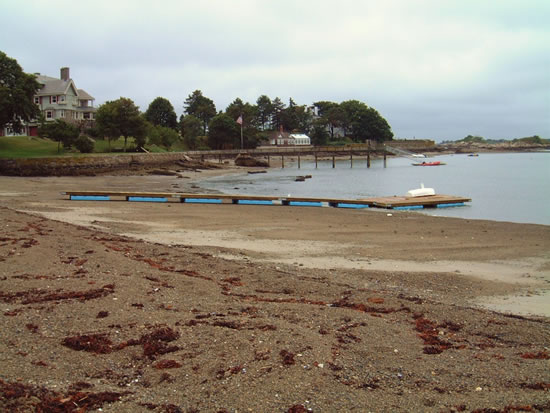
Waterways and Tidelands
Areas of water and associated submerged lands and tidal flats provide important physical and biological values in the marine environment. LEC assesses a variety of different tidelands including those that are filled, flowed, landlocked, private, and Commonwealth. Site mapping and strategic planning services offered by engineers and lawyers usually complete a team effort in designing and permitting waterfront development.
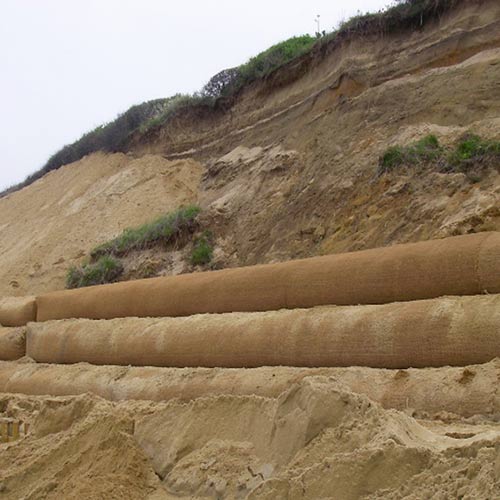
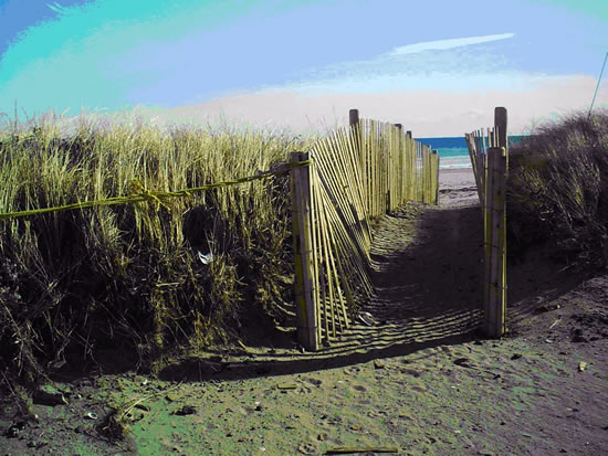
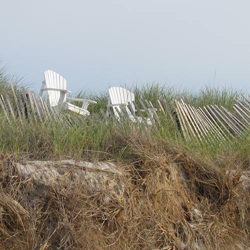
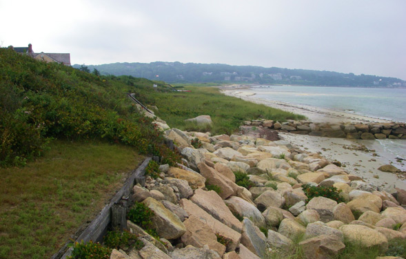
Beach, Bank, and Dune Restoration
LEC has extensive experience with successful design and implementation of beach nourishment, bank restoration, and dune replication projects. Successfully nourishing, restoring or replicating a resource area is linked to site-appropriate design, qualified oversight during installation, and monitoring. When implemented correctly, a restored resource area will provide a long-term net benefit for storm damage prevention, flood control, and wildlife habitat protection.
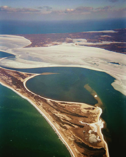
Barrier Beach Management Plans
Management of developed barrier beaches, historically, has focused more on the protection of facilities and infrastructure than the environment. Although the people who live on these beaches must be protected, the dynamic evolution of the barrier beach system must have the natural ability to continue with storms and sea level rise. LEC assists communities in developing management plans that address strategic retreat, facility relocation, property acquisition, and soft engineering techniques.
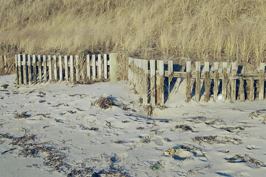
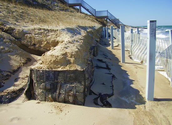
Shoreline Protection and Stabilization
Flooding and erosion of our shorelines often require the use of coastal engineering structures, including groins, seawalls, bulkheads, and revetments. To supplement the necessary engineering, LEC provides the assessment of existing conditions used in design and provides recommendations for mitigation measures such as beach nourishment and bank restoration.
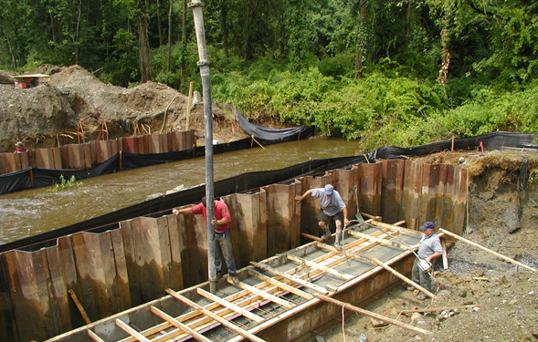
Sediment Sampling
Knowledge of existing sediment and soil conditions is required for resource delineation, project design, and construction monitoring. Sampling methods includes hand augering, test pits, and borings. Visual and laboratory analysis of the samples usually include grain size, sorting, color, and roundness. Subsurface sampling is often the only means by which to differentiate between glacial and depositional environments. This is critical in delineating coastal banks and dunes for regulatory purposes.